Resilient siting for the data centre boom: Mapping the Gulf Coast’s climate future
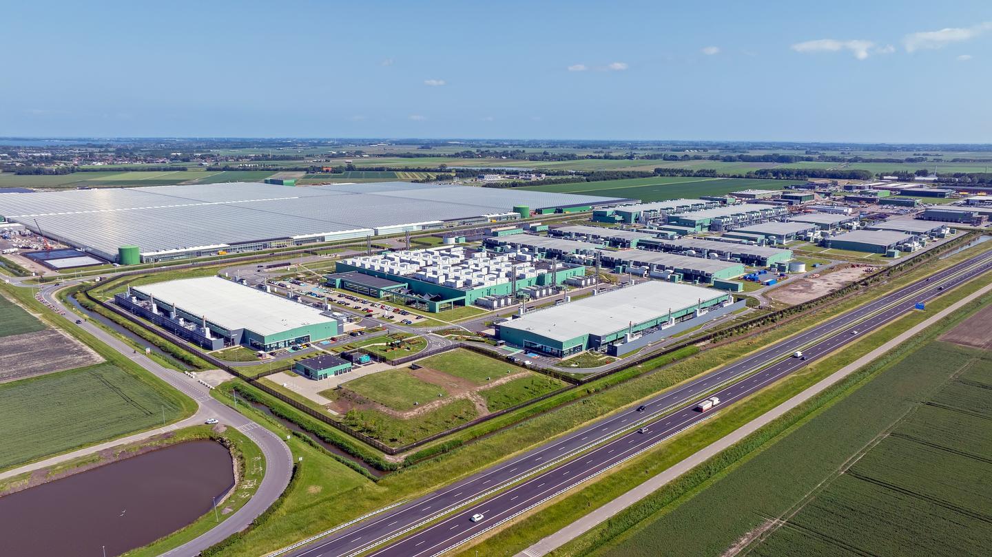
The US is home to more than 4,000 data centres, demonstrating that the infrastructure supporting our digital economy is expanding at a record pace. In tropical, coastal regions, this growth faces a critical challenge: the increasing frequency and intensity of extreme weather. For developers, this raises the stakes – not just for the buildings themselves, but for keeping the servers running and the lights on for the customers who depend on them.
When considering a regional expansion, a client partnered with Ramboll to perform a comprehensive climate risk assessment. Utilising our proprietary physical climate risk screening service, HazAtlas, we moved beyond site-specific analysis to evaluate every county across a state. This scaled approach allowed the client to identify optimal locations where long-term environmental risks could be mitigated.
While data centres face risks from a myriad of physical climate hazards, this assessment focused on the two biggest threats to keeping these facilities running: sudden, severe flooding and hurricane-force winds. Flooding can directly damage data centre infrastructure but also disrupt site access, preventing teams from making repairs or delivering fuel for backup generators. Storm surge modeling from the National Hurricane Centre identified the inland extent of areas that should be avoided entirely for data centre development. We also employed high-resolution climate model projections developed specifically for the US to determine which counties are expected to face the largest percent increases in extreme rainfall (e.g., the 100-year event).
While data centre structures are often designed to withstand hurricanes, projectiles and debris from 100-mph winds have a high potential to damage exterior equipment such as air-cooled chillers and roof-mounted data hall exhaust fans. We combined hurricane wind intensity and duration data with a detailed review of past evacuation orders and impacts in large metropolitan areas to understand historical risk. Forward-looking climate model projections then revealed which counties are expected to experience the largest percent increases in hurricane wind intensities.
By combining future climate projections with past weather patterns, we provided a roadmap for where to build and how to harden buildings against the next major storm. The result is a strategy that goes beyond simply picking a plot of land to build confidence into projects from the start. By combining the latest climate science with a practical understanding of how modern storms impact operations, we’re helping clients reduce the risk of costly damage and downtime. It’s a proactive approach that ensures the next generation of digital infrastructure is as resilient as the communities it serves.